Overview
One trip across the whole of Gilgit-Baltistan, from the orchards of Hunza to the Balti towns of the Shyok, taken the old way: by road, on the Karakoram Highway, which is the Silk Route under tarmac. The region borders China's Xinjiang province to the north and Ladakh to the east, and for centuries traders, warriors and monks came through here on the same line you will drive.
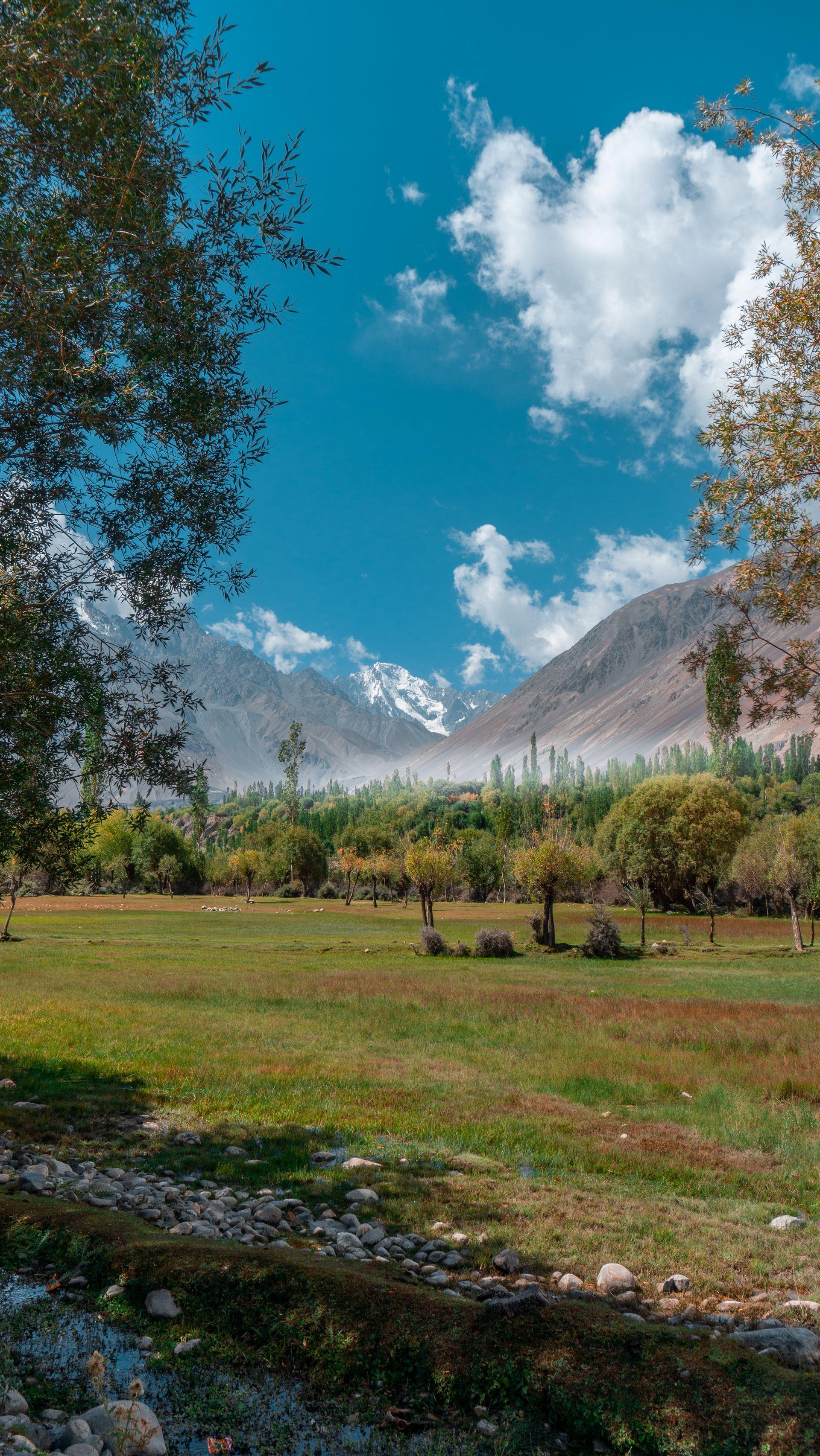
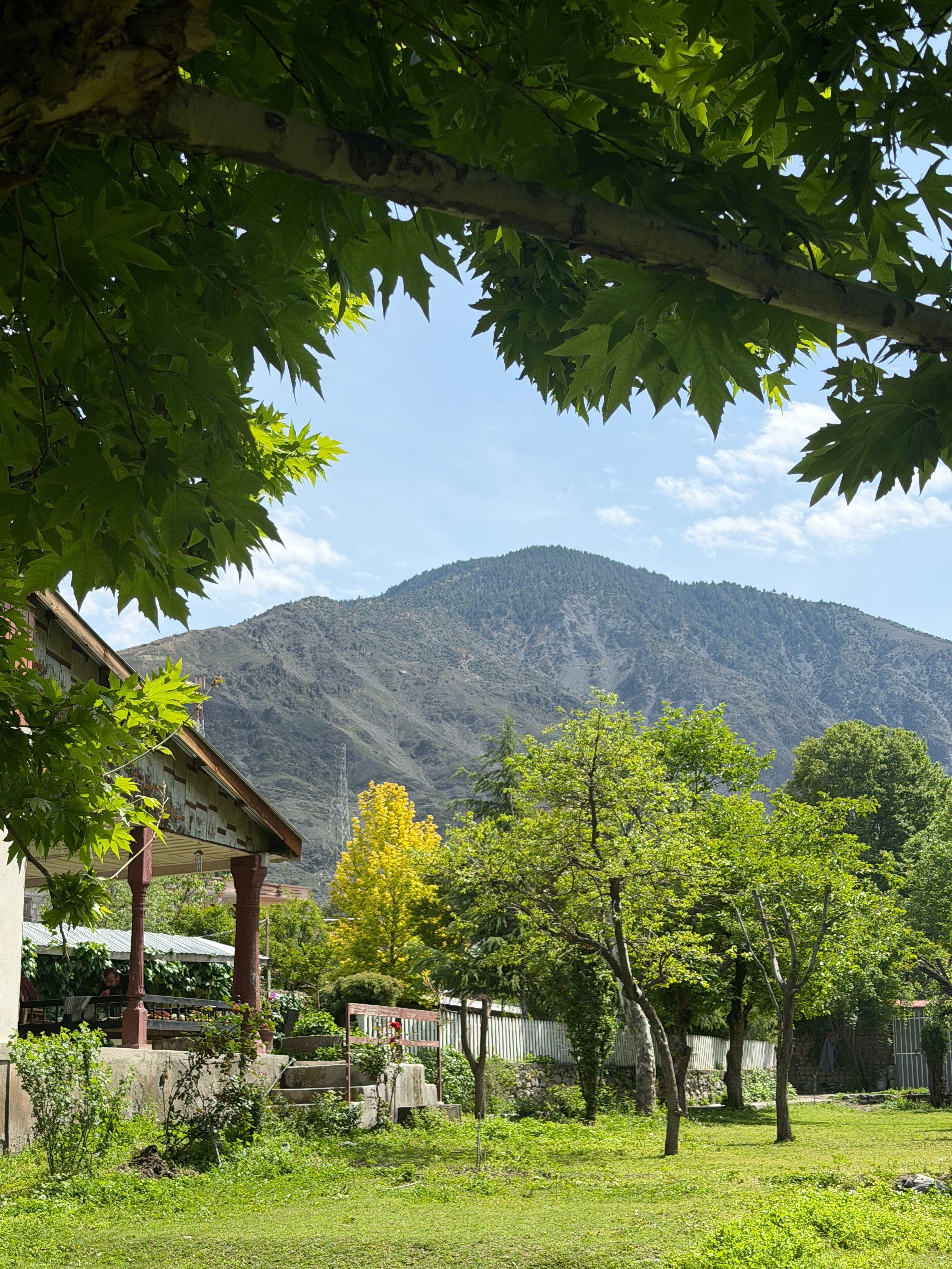
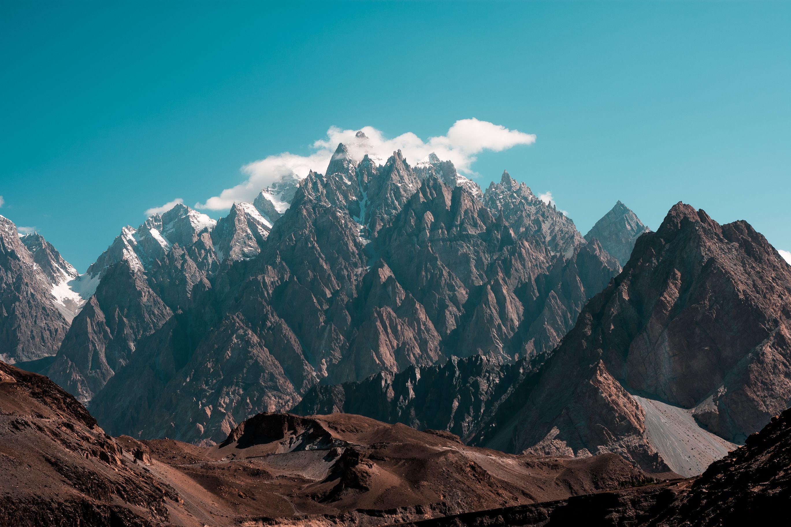
Gilgit-Baltistan holds the Western Himalaya and the Karakoram, with the Hindu Kush to the west and the Pamir to the north. Fourteen days is what it takes to see that properly rather than in pieces — Gilgit, Hunza, Skardu, Khaplu, Shigar and Deosai, with medieval forts, glaciers and hidden valleys in between, and Nanga Parbat and the road to K2 both within reach of it.
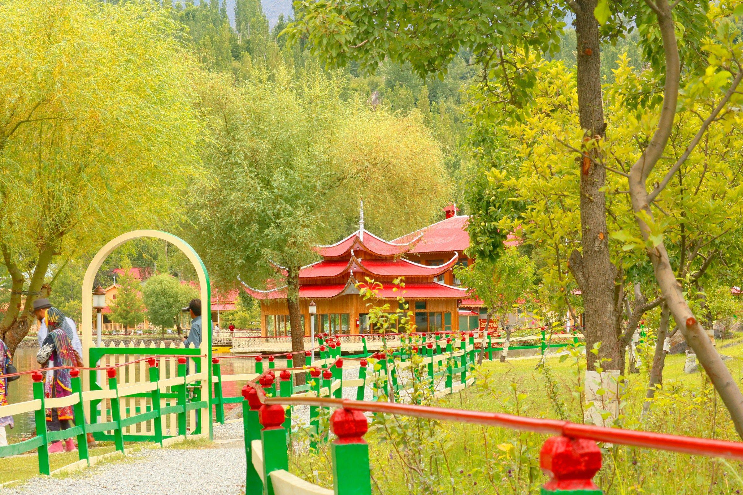
You start and finish in Islamabad. From there the route runs up through Taxila, Abbottabad and the Kaghan Valley to Naran, over the Babusar Pass at 4,067 m to rejoin the Karakoram Highway along the Indus, and north to Gilgit and Karimabad. You will stand at the Khunjerab Pass at 4,880 m where Pakistan meets China, walk the 700-year-old Baltit and Altit forts, take lunch in the royal garden at Shigar, sleep in the ex-royal palace at Khaplu, and cross the Deosai plateau — the second highest on earth, and brown bear country — by jeep on the way back down.
It is graded easy and it is family friendly. There is no trekking; the walking is short and mostly optional, and every night is in a three or four star hotel. What it asks of you is road time, and a flexible attitude to a mountain itinerary — this is a suggested route, and it can be built around your own interests instead.